‘Back and forth’ temps, plenty of rain? The latest outlook for spring in Centre County
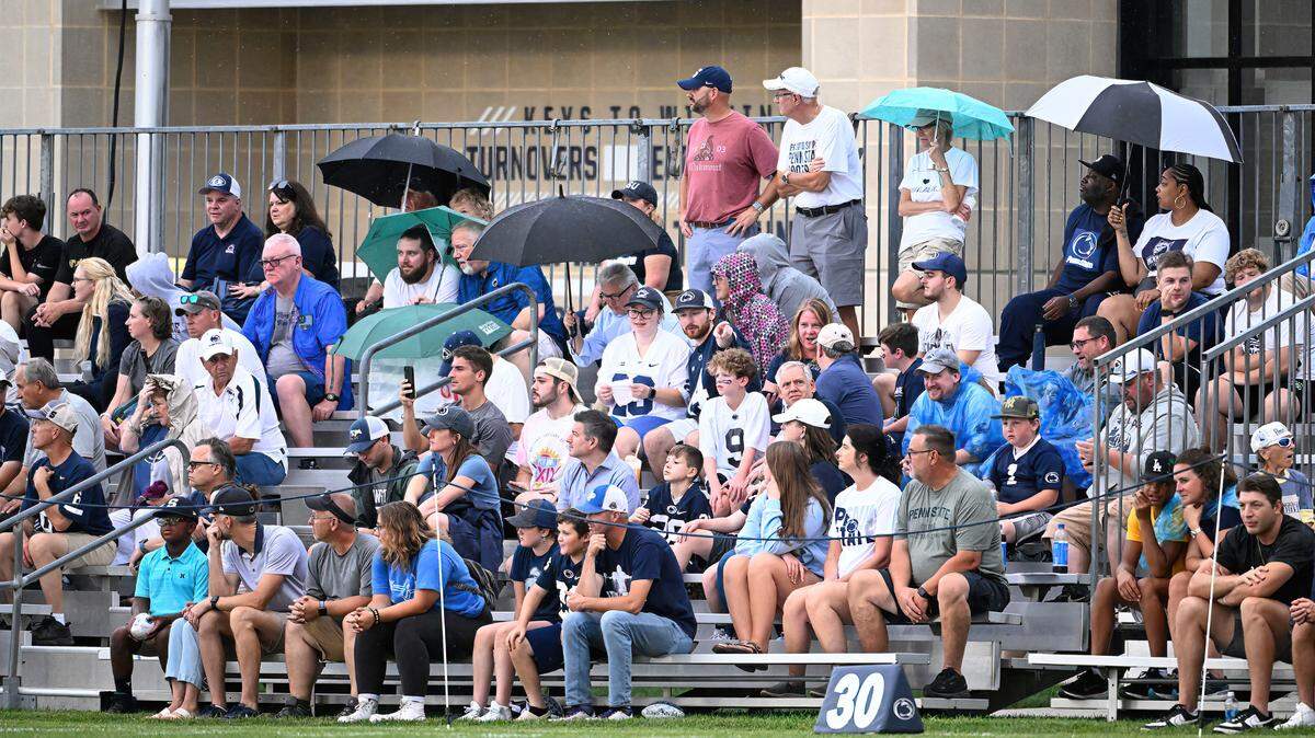
It might feel like spring has sprung, but Centre County could still see bursts of cold heading into May.
While the start of spring is just over a month away, AccuWeather meteorologist Paul Pastelok is predicting “some back and forth action” on the thermometer, along with near- to slightly-above-average rainfall in the region.
“It’s pretty much going to be the case here where there’s really not consistent warmth throughout the spring,” Pastelok said. The alternating warm-and-cold bursts are akin to what Centre County is currently experiencing as it transitions out of winter’s depths.
Nighttime temps have the potential to dip below freezing into May due to cool air from the Atlantic Ocean, the Great Lakes and Canada. The bursts of cold mean sensitive plants shouldn’t be put into the soil, unless covered, until early May, according to Pastelok.
“I don’t expect early planting this year, just because of that threat of maybe some frost later in the season,” he said.
Cold bursts aren’t unusual in the area, per Pastelok, and the National Weather Service is predicting an equal likelihood of above-average spring temperatures and below-average spring temperatures. It is also predicting above-average precipitation.
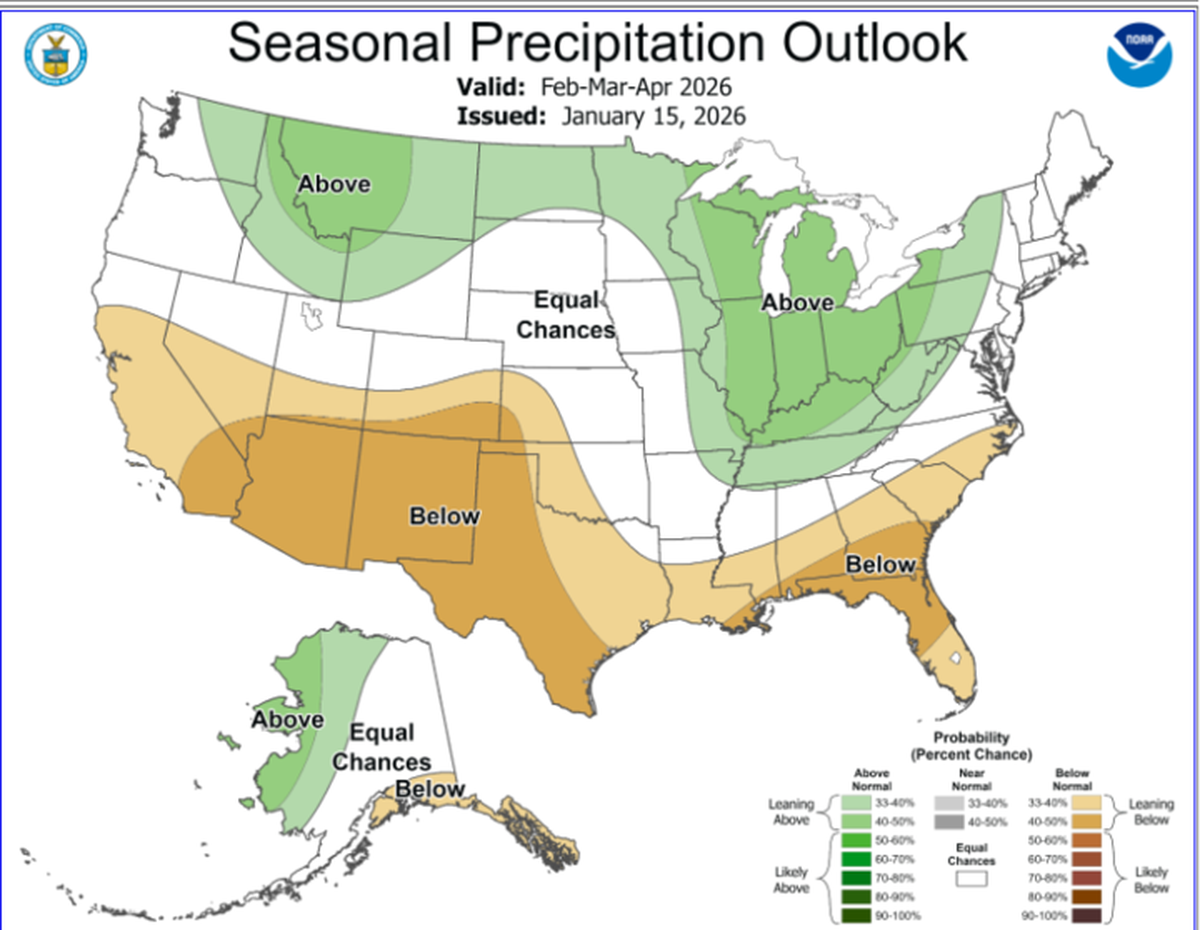
“Our average precipitation here in State College from March 1 to May 31 is generally around 10 and a half inches,” Pastelok said, “and so probably we’re going to see rainfall amounts generally in that area, maybe closer to 11 or 11 and a half inches, somewhere in that general zone.”
Snow will likely give way to rain by mid-March, he added. Pastelok predicts a lower likelihood of severe weather events going into spring.